|
Mapping Lindisfarne |
| 2021-01-19 |
Mapping Lindisfarne
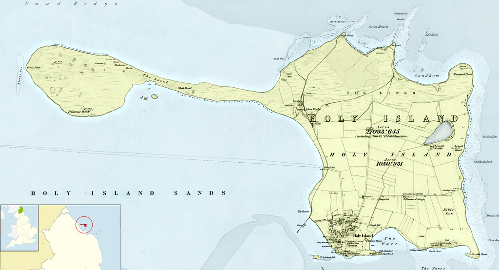
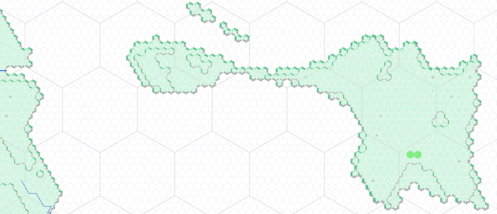
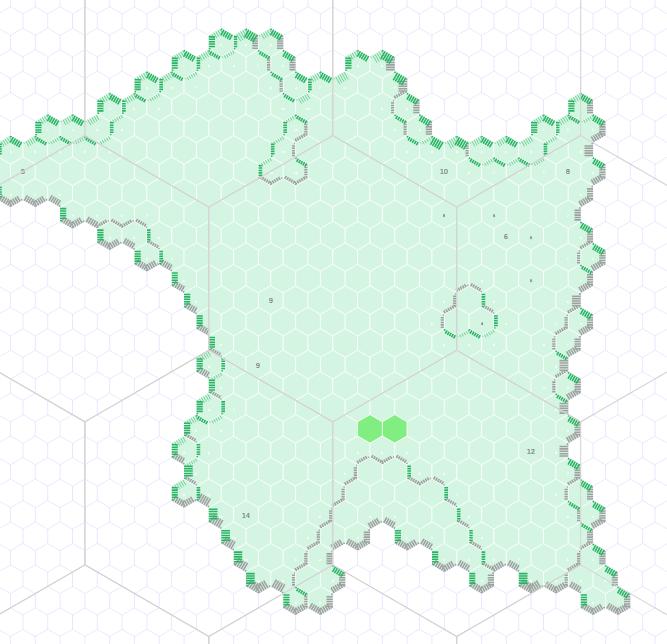
I am building this archelaus tool to generate hex maps I use as gamemaster in my session preparation. I've just generated a map of Lindisfarne and its surroundings.
This is a continuation of Eminences in Green and Mobile Eminences.
The tool generates an SVG map in an HTML file. It prints OK.
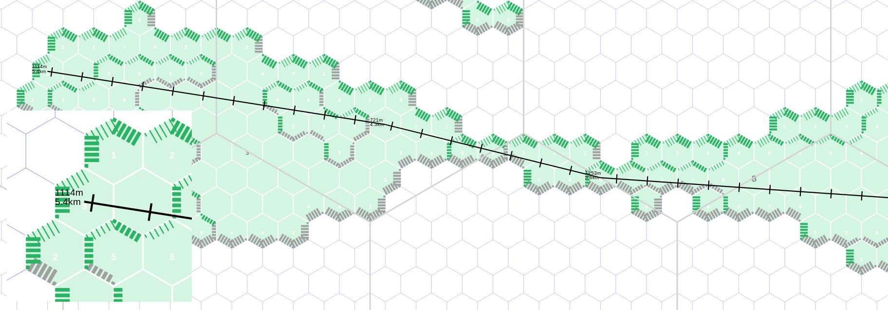
I am slowly making improvements. This new version has a ruler embedded. It only plays nice on a desktop or laptop computer, not on iPad. But I could use it to "alk" from the southeast corner of the island to its northwest one, it's 5.4km, so maybe 1 hour for determined walkers.
Granted, with the big 1km hexes, it's even faster to count up to 5 and half. But at some point, I'd like the ruler to indicate the elevation delta, maybe compute the effort required.
I still have a lot of work to do, but the maps are already useful.
the current iteration of the map


.jpg)